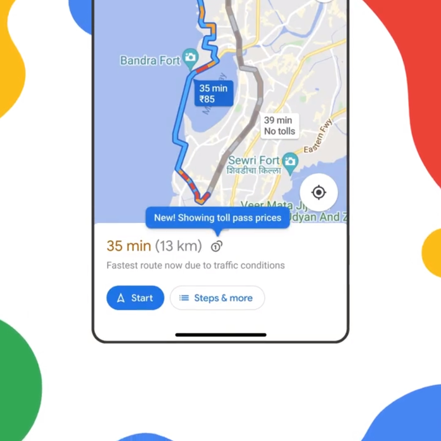
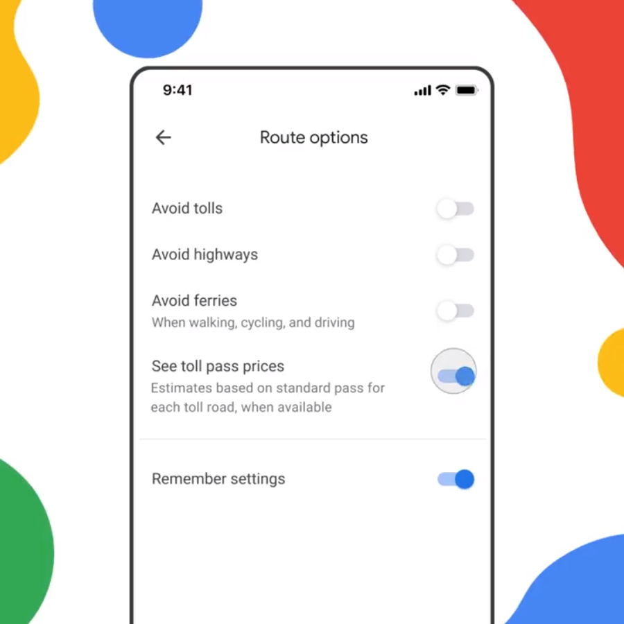
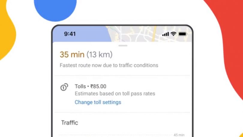
Google recently announced on its blog an interesting new feature for Google Maps – Toll prices. The company first announced the feature in April 2022. The new feature will cover over 2,000 toll roads. The update will soon start rolling out to Android and iOS devices. The feature will first come to India, Indonesia, the United States and Japan. Google says more countries will follow soon.
How Does It Work?
Google will gather estimates for the toll prices to the destination using trusted information from local tolling authorities. Furthermore, it will also factor in specific details such as whether the road has a toll pass or not, what day of the week it is and also at what time the user will likely cross the toll.
Since India does not use toll passes, it will factor in prices for FASTag. In addition to this, users will also have the option of getting toll price estimates with or without FASTag. However, Google Maps will still have the option of “Avoid tolls” in the settings menu. Google says the feature will help make a choice between toll and regular roads easier.
Other Updates
Google Maps now also shows the Air Quality Index (AQI) in the US. The company collaborated with partners in the air quality space and weather industry to bring this helpful information. The new feature will offer two benefits – to check the air quality condition and also safely navigate wildfires. The former helps one decide if it is safe to go for a hike or other outdoor activities.
Meanwhile, the latter is a direct result of the increasing wildfires in the US in recent years. Google says searches for best air filters for wildfire smoke have doubled over the past year. Google partnered with National Interagency Fire Centre (NIFC) to help show users details of the active fires in the area. The company will also tie up with National Oceanic and Atmospheric Administration (NOAA) to show smoke data across the US in the coming months.
Also Read: Android Auto connectivity to get a huge update


